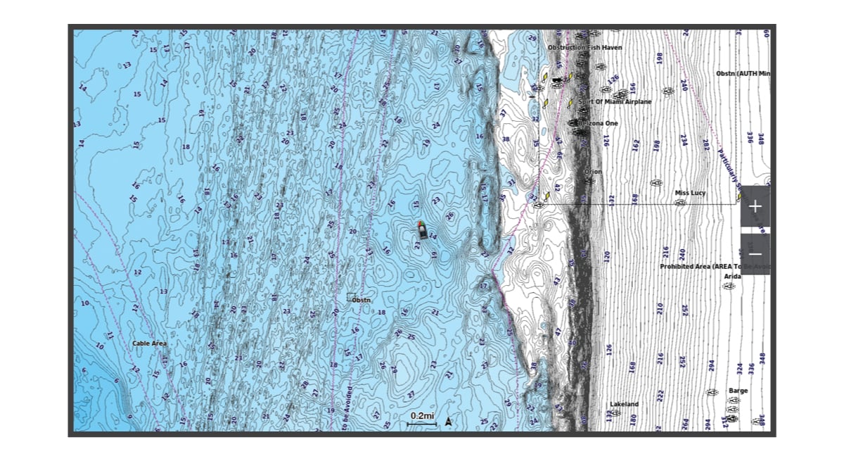
Navigation Chart and Fishing Chart
NOTE:
The Fishing chart is available with premium charts, in some areas.
The Nav. Chart is optimized for navigation. You can plan a course, view map information, and use the chart as a navigational aid. To open the Nav. Chart, select .

The Fishing Chart provides a detailed view with more bottom detail and fishing content. This chart is optimized for use when fishing. To open the Fishing Chart, select .
- Chart Symbols
- Zooming In and Out of the Chart
- Panning the Chart with the Keys
- Selecting an Item on the Map Using the Device Keys
- Measuring a Distance on the Chart
- Creating a Waypoint on the Chart
- Viewing Location and Object Information on a Chart
- Viewing Details about Navaids
- Navigating to a Point on the Chart
Parent Topic: Charts and 3D Chart Views