Measuring Bearing and Distance
Distance and bearing can be measured on some map displays. Measurement can be from the aircraft’s present position to any point by using the Radial Menu, as shown in the following figure:

A Measurement Line can also be created between any two points on the map. The bearing and distance tool displays a white Measurement Line and a cyan Measure Pointer to aid in graphically identifying the points to measure. Distance measured is displayed above the Measurement Line; bearing is displayed below, and adjacent to, the Measure Point.
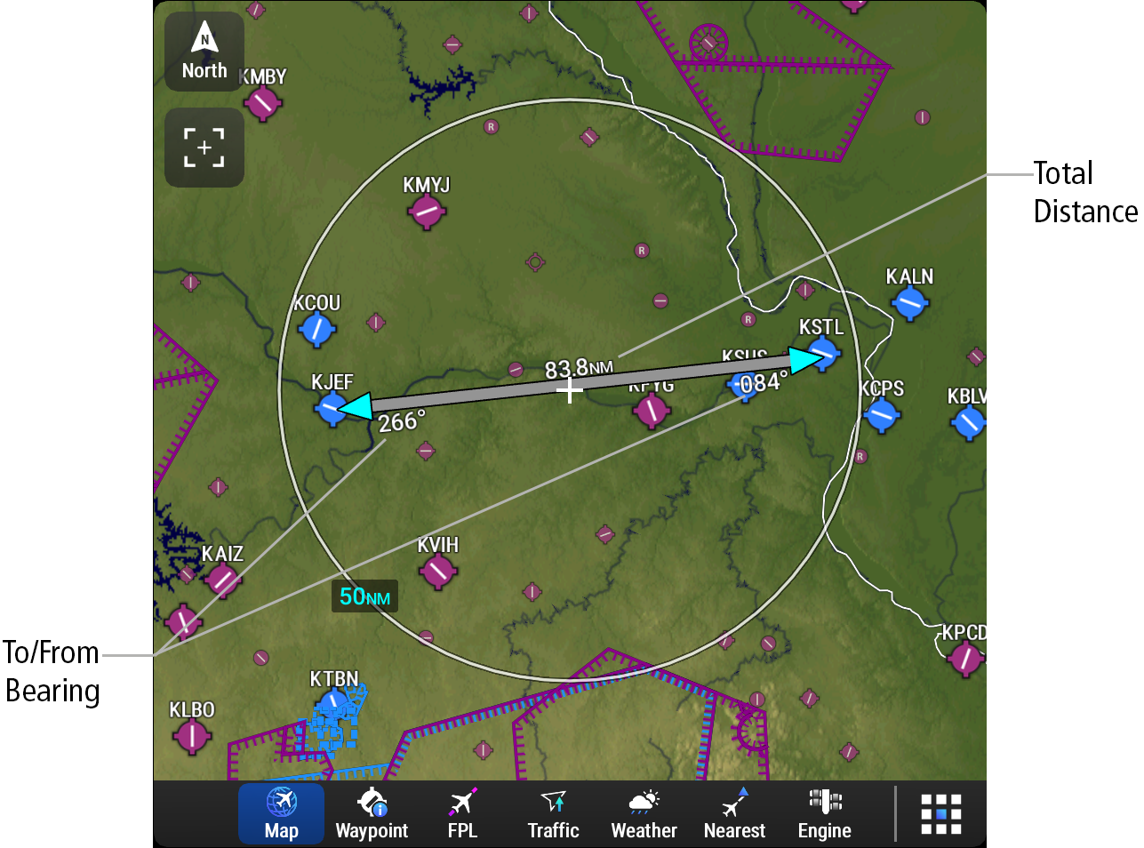
If the range is adjusted and/or Pan Mode is activated while measuring bearing and distance the following will occur:
-
The end points of the measurement shall remain located at the lat/lon at which they were before adjusting the range or activating Pan Mode.
-
The Measurement Line and Measure Pointer(s) shall be removed from map if the range is adjusted too far or under its display location.