Polar Tables
This feature allows you to load and use data from a third party. Garmin® makes no representations about the accuracy, reliability, completeness or timeliness of the data generated by third parties. Any use or reliance on data generated by third parties is at your own risk.
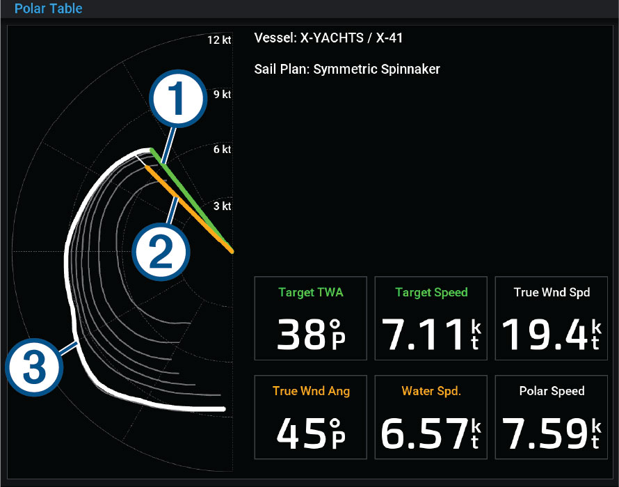
You can use polar table data with your chartplotter. You can assign polar data types in data fields, and you can use polar data to calculate optimal laylines and starting line guidance.
The chartplotter is preloaded with a set of polar table data you can use. You can also upload a custom polar-table data file.
|
|
Target wind speed and angle, where the length of the line indicates the speed |
|---|---|
|
|
Measured speed and angle, the length of the line indicates the speed |
|
|
Curve from the polar table that matches the measured wind speed |