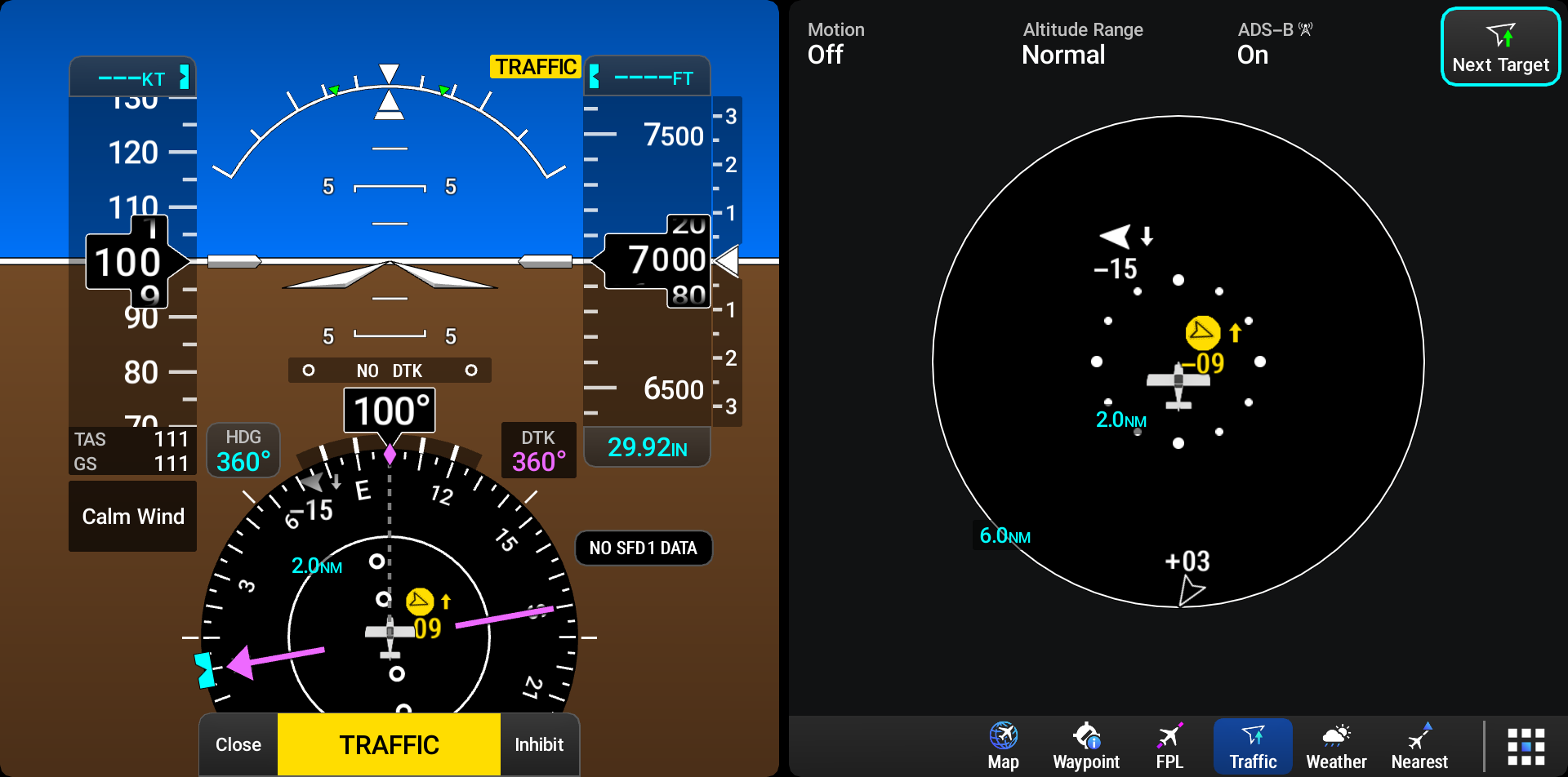
'Traffic' Operation
The ‘Traffic’ page shows surrounding traffic data in relation to the aircraft’s current position and altitude, without basemap clutter. It is the principal MFW application for viewing traffic information. Aircraft orientation is always heading up unless there is no valid heading. Range rings indicate map ranges. Touch the screen with two fingers and pinch out to decrease range and pinch in to increase range. Alternatively touch the screen with a single finger and scroll up to decrease range or scroll down to increase range.
The traffic operating mode appears in the information bar at the top of the 'Traffic' Application Page and the altitude range appears in the lower left of the range ring.