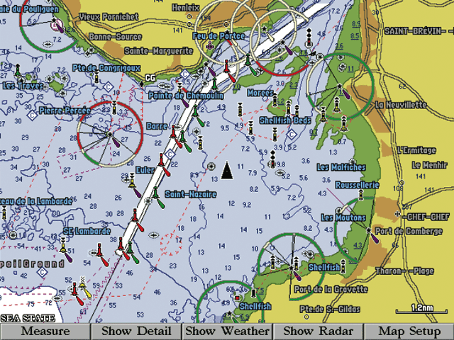
As will all BlueChart cartography, map areas are shaded like those on paper charts, allowing you to instantly identify intertidal zones, depth contours and more.
As will all BlueChart cartography, map areas are shaded like those on paper charts, allowing you to instantly identify intertidal zones, depth contours and more.